Polus
All Use Cases

National Security Use Case

See Beyond the Line.

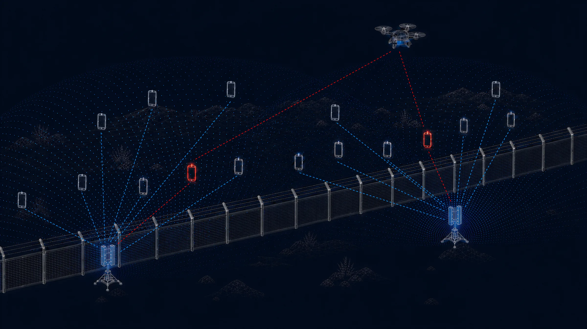
Read the ground on the far side of the border. Map every emitting target in that space, resolve a meter-class 3-D fix on any one of them, and hold it as it moves toward the line.

A border fence at night with two Polus sensors mapping emitting phones on the far side, two of them flagged red, and a drone tracking one as it approaches.
  1. 01: Beyond the Line

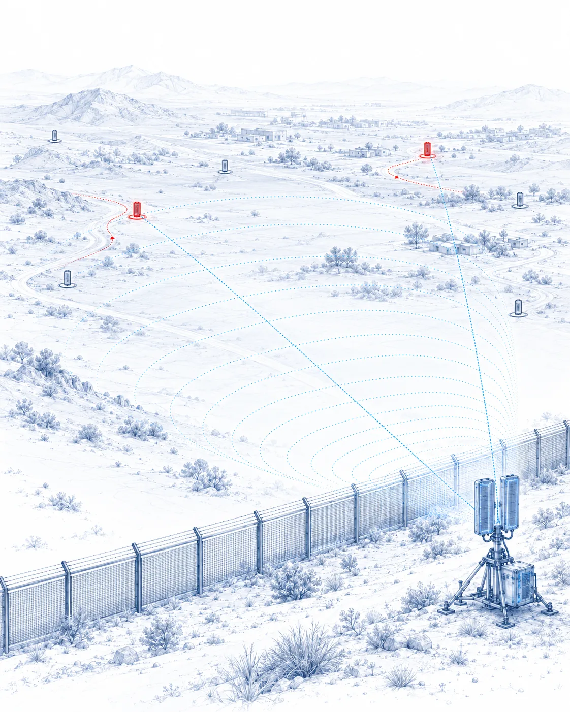
    Coverage reaches kilometers past the border, into the approach itself, not only the crossing point.

  2. 02: 3-D Fix

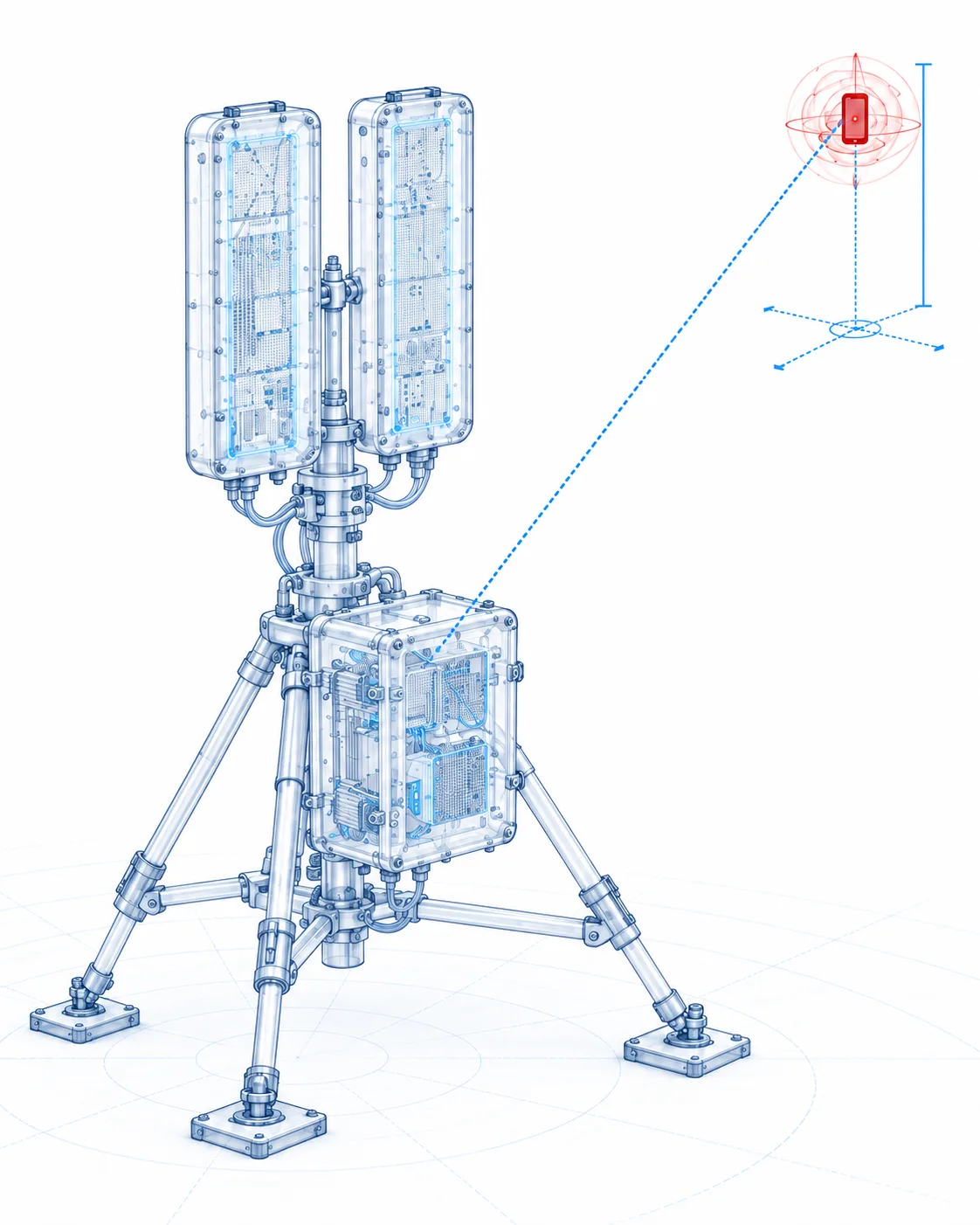
    One sensor returns position and height on any emitting target in that space. No second site, no baseline, no survey.

  3. 03: Stays With It

    The track holds as the target moves toward the line, changes vehicle, or switches to a backup device.

Most border systems watch the crossing: cameras on the fence, sensors on the road, a response that begins once something is already at the line. By then the decision window is a few hundred meters wide. Polus reads the signal environment on the far side, maps every emitting target in it, and returns a meter-class 3-D fix from a single sensor that does not have to move.

  • Answers Before the Approach

    Movement is visible while it is still forming on the far side, not when it arrives at the fence.

  • One Sensor, No Baseline

    The complete fix comes from one box. No second site, no baseline between receivers, no survey.

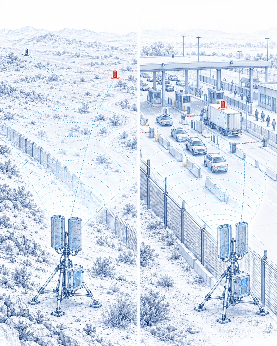
  • From Open Terrain to a Crossing Point

    The same sensor works a remote approach and a busy crossing, with no change of configuration.

The Engagement Cycle

Reading the Far Side

  1. 01Detect

    Every emitting target in the area beyond the line, including unattributed emitters with no prior record.

  2. 02Localize

    A meter-class 3-D fix, from a single sensor. No second team in position, no triangulation.

  3. 03Track

    The position updates live as the target moves toward the line, so the response forms before the crossing instead of after it.

Layered Coverage

  1. 01Stationary

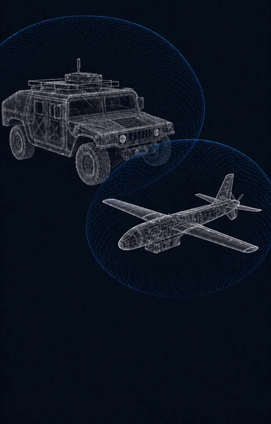
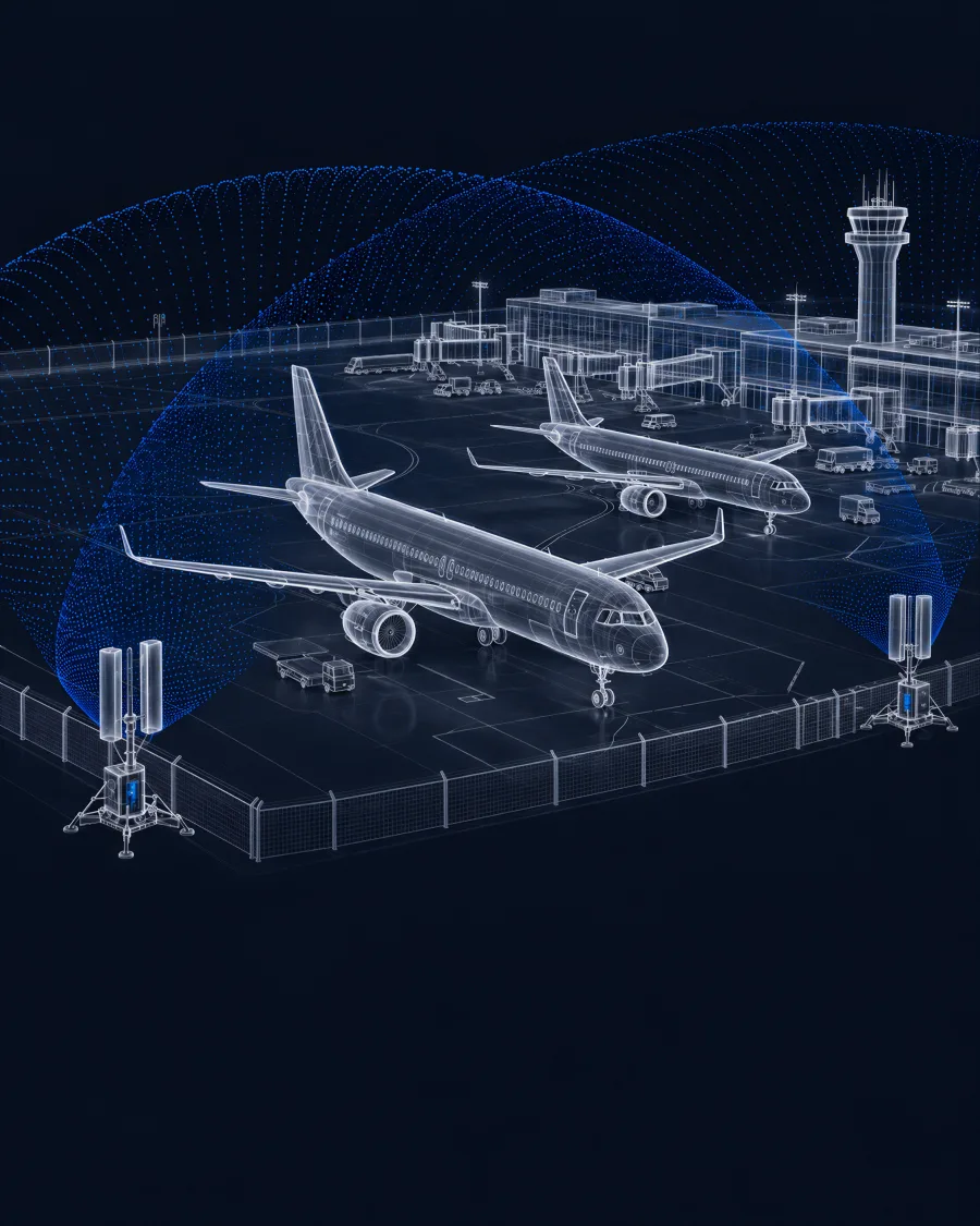
    Fixed units at crossings, ports and watchtowers, reaching kilometers beyond the line.

  2. 02Vehicular

    Mobile units covering access routes and the stretches between fixed sites, deployable well beyond populated areas.

  3. 03Aerial

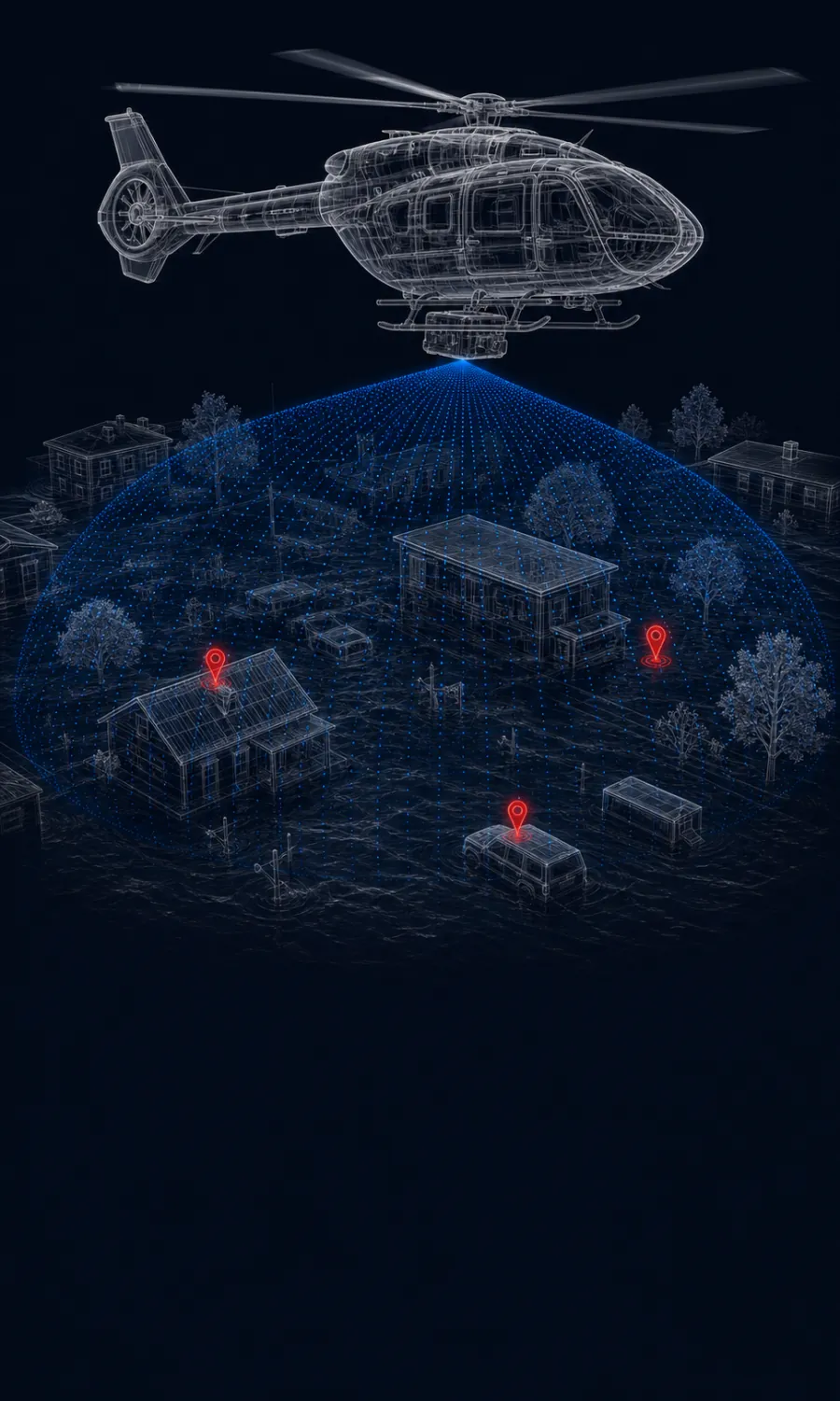
    Airborne units mapping open terrain, coastline and ground no road reaches, observing from altitude.

Scope

  • Works With Your EO/IR

    Where the agency already runs EO/IR, Polus hands it a position to look at. The visual confirmation stays with that system.

  • Feeds Your Existing Systems

    Positions export into the border-control and command systems already in use. Polus supplies the location layer, not the record.

  • One Border, One Authority

    The system operates under the authority of the agency responsible for that border. It is not a population-monitoring tool.

Ready to See Past the Line?

Schedule a call and we'll walk through the fit for your border.